Project Portfolio
GIS & Spatial Analysis
Sustainable Investment in AfPak
Princeton University, 2010-11
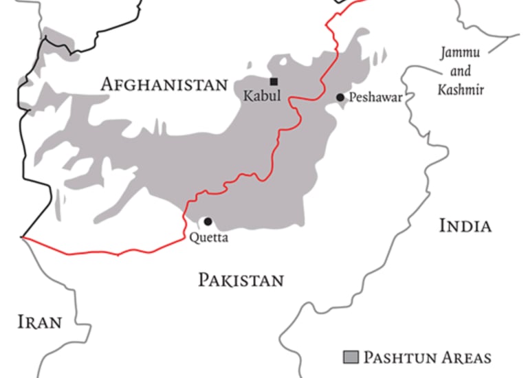
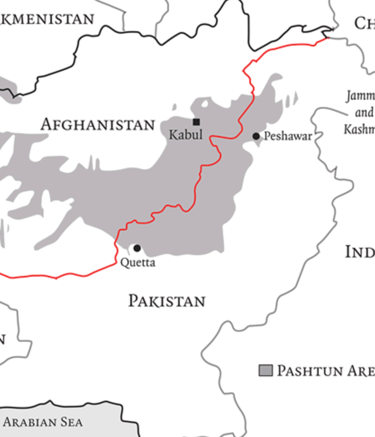
Twelve other students and I, as part of the course GEO499 - Environment, Poverty, and Conflict, selected the Afghanstian/Pakistan border as an area of study and developed a model to assess the ideal area for sustainable investment based on environmental and socioeconomic patterns. Individually, I learned how to use ArcGIS 9 to visualize those patterns and the findings from our model. I then shared these maps with my classmates, who interpreted them to write their individual final papers for the course. Our professor, Gregory Van Der Vink, founder of Novametrics, then wrote a single paper unifying the best of our individual analyses and submitted it to the Proceedings of the National Academy of Sciences (PNAS) for publication consideration.